Fire Clouds Force Rethink of Storm Science
When the Forecast Model Breaks Down
Wildfires in Oregon and
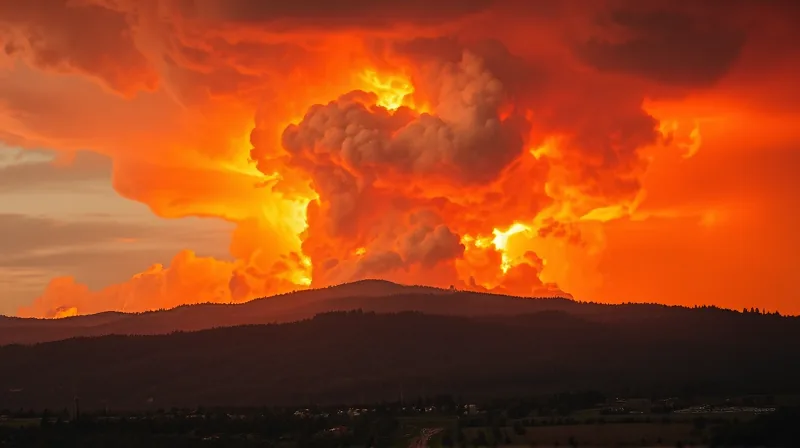
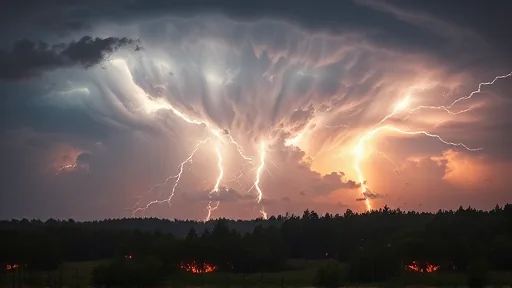
France have grown large enough to generate pyrocumulonimbus clouds — enormous storm systems that form in the hot updraft of major fires. [1] These clouds produce wind and lightning, worsening already dangerous conditions on the ground. The phenomenon has pushed an established assumption past its limit: standard weather models were not built to account for a thunderstorm that ignites itself from a burning forest. [1].
The stakes extend far beyond the fire line. These fire storms loft smoke into the stratosphere, the upper layer of Earth’s atmosphere. Once there, smoke can spread more readily around the globe, eat away at the protective ozone layer, and influence weather and climate patterns far from the original blaze. [1].
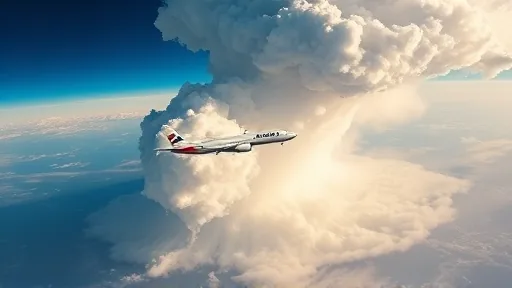
Scientists have responded by launching an airborne mission to observe these rare storms like never before. The campaign uses a specially modified jet alongside a high-altitude NASA plane. [2] The combination allows researchers to sample the inside of a fire-generated thunderstorm at altitudes and durations that ground instruments cannot reach. [2].
What Earlier Observations Could Not See
Previous studies of pyrocumulonimbus clouds relied on satellite snapshots and ground-based radar. Those tools captured the clouds’ outward appearance but missed the internal dynamics that drive smoke injection into the stratosphere. The new airborne mission closes that gap by flying directly through the storm systems. [1].
The contrast with earlier work is sharp. Where past research could only document that smoke reached the stratosphere, the current campaign measures how it gets there — the updraft speeds, the particle concentrations, the chemical transformations that occur during the climb. Each of these variables was previously inferred rather than observed. [1].
Parallel work on the ground is advancing the same research question from a different angle. Laboratories studying wildfire emissions are now testing how smoke particles behave under stratospheric conditions, complementing the airborne data with controlled experiments. The two approaches — direct flight observation and laboratory simulation — are beginning to converge on a shared picture of how fire storms alter atmospheric chemistry. [1].
The Gap Between Observation and Protection
The mission represents a significant step, yet the distance to practical application remains wide. Researchers can now observe fire storms in detail, but the ability to predict when a given wildfire will produce a pyrocumulonimbus cloud — and how much smoke it will inject into the stratosphere — is still out of reach. The data from this campaign will feed into models, but those models will require years of validation before they can support real-time forecasting. [1].
Sources
2. NASA