Two ways jet stream locks Europe in heat dome
When a
Kink in the Wind Becomes a Trap
For decades, weather forecasters could spot a heatwave coming a few days ahead. But they could not tell if it would last three days or three weeks. That distinction matters. A seven-day heatwave kills more people than three short hot spells combined. The body does not recover overnight. Infrastructure buckles. Hydroelectric dams run low on water. Power grids strain as air conditioners run non-stop. The difference between a short hot spell and a long one is not just temperature. It is persistence.
Duncan Pappert at the University of Bern in Switzerland wanted to understand what makes a heatwave linger. [1] He and his colleague Olivia Martius faced a problem. Real-world data was scarce. Scientists only have daily atmospheric records for about 20 long heatwaves. That is not enough to find reliable patterns. So they turned to simulation. They analysed 1900 plausible hot spells generated by a state-of-the-art climate model. Inside those virtual heatwaves, they found two distinct atmospheric fingerprints. Both involve the polar jet stream, the high-altitude belt of strong winds at roughly 60 degrees north.
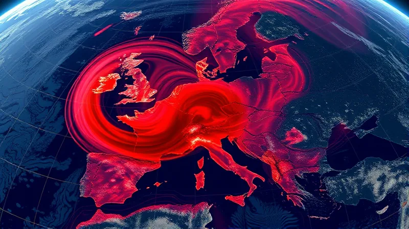
In the first pattern, the jet stream becomes wavy. It kinks north around the UK and Scandinavia, then dips south again. The shape resembles the Greek letter omega. Within that omega-shaped bend, a persistent ridge of high pressure forms. This is called omega blocking. It sets the stage for a heat dome that can last two weeks or more. Storms coming across the Atlantic do not break the ridge. Instead, they reinforce the low-pressure circulation at the beginning of the omega sign. That circulation pulls hot subtropical air northward as it spins. The ridge stays put.
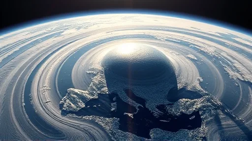
In the second pattern, the jet stream shifts poleward. It moves north of the UK in a straighter line. A ridge forms over Europe. The storm track follows the jet stream, diverting low-pressure systems north of the continent. Warm subtropical air floods in from the south. The outcome is the same: a relentless heat dome over western Europe. The difference is how the atmosphere sets up the situation for the ridge to be maintained. Both patterns produce the same deadly result, but through different mechanisms.
The Physics That Keeps the Heat Dome Alive
Once the ridge is in place, a feedback loop takes over. At Earth’s surface, air flows away from the high-pressure system toward lower-pressure areas. Dry air descends from above to replace it. As that air sinks, it compresses and heats up. The process is like pumping air into a bicycle tyre. The compression generates heat. Moist air does not rise to create clouds. The sky stays clear. Constant sunshine heats the lower atmosphere further. It also heats the land. The heat dries the soil. With less moisture, evaporation slows. That reduces cooling. The land heats even more. The loop reinforces itself.
The two patterns are averaged tendencies, not hard categories. Real heatwaves can shift from one type to another. The record heatwave in July 2023, which killed an estimated 20,000 people in Europe, started as a type II pattern It then morphed into a type I. The July 2024 heatwave largely resembles a type I A trough of low pressure sits to the west of a high-pressure ridge over Europe. Tim Woollings at the University of Oxford says these patterns should help forecasters. “This really clearly lays out the structure and evolution of these events, so people know what to look for.”
The practical value is clear. An early warning that a long heatwave is coming gives people, businesses, and governments time to prepare. Grid operators can ask power companies to generate more electricity to cope with the spike in demand from air conditioning. Hospitals can stock up on supplies for heat-related illnesses. Farmers can adjust irrigation schedules. The models can be improved if we understand these events better, which is what Pappert and Martius set out to achieve.
The Unanswered Question About a Changing Jet Stream
Heatwaves are getting hotter, more frequent, and longer-lasting. Global warming is raising background temperatures. But it is harder to say whether the atmospheric patterns that trigger these heat domes are becoming more frequent. Some research suggests that high-pressure blocking related to the jet stream will become more frequent and persistent over Europe. Other modelling shows no change. The science is not settled.
The jet stream is starting to shift northward in general. That could bring drier conditions to southern Europe, says Woollings. If the type I and type II patterns become more frequent or longer-lasting, the damage would be extreme. Economies would suffer. Human health would suffer. But Woollings says we do not know. “We don’t have a good enough understanding of these events really to know how their duration is changing.” The contradiction remains unresolved. The same warming that makes heatwaves more intense may or may not make the atmospheric patterns that sustain them more common. The data is not yet conclusive. The models disagree. The question remains open.