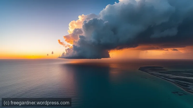
NOAA forecasts below normal 2026 Atlantic hurricane season
On a humid June morning in 2026, Maria stood on her porch in Montego Bay, Jamaica, staring at a sky that looked like bruised fruit. She had lived through hurricanes before—storms that shook her windows and flooded her streets—but nothing prepared her for what came in October. Hurricane Melissa arrived with winds so fierce they peeled roofs from schools and scattered them like paper. When it was over, 95 people in Jamaica were dead, and the island counted $12 billion in damage. Maria’s neighbor lost her home. Maria lost a friend.
Now, as the 2026 Atlantic hurricane season approaches, forecasters at the National Oceanic and Atmospheric Administration (NOAA) are offering Maria and millions like her a cautious hope. They predict a below-normal season—a 55% chance that the number of named storms will fall short of the average [1]. But they also say something else, something Maria has learned the hard way: “It only takes one storm.”
The Numbers Game
To understand what “below-normal” means, you have to look at the math of the sea and sky. An average Atlantic hurricane season—measured over the last 30 years—produces 14 named storms, of which 7 become hurricanes, and 3 grow into major hurricanes (Category 3 or higher, with winds of at least 111 miles per hour) [1]. Last year, 2025, gave us 13 named storms and 5 hurricanes, with 4 of those reaching major status. That’s close to average—except for Melissa, which was not average at all.
NOAA’s 2026 outlook, released with 70% confidence, forecasts 8 to 14 named storms, 3 to 6 hurricanes, and 1 to 3 major hurricanes [1]. The low end of that range would be a quiet season. The high end would be average. Either way, the forecast is a prediction, not a promise. As NOAA’s National Weather Service Director Ken Graham put it: “There is still uncertainty in how each season will unfold” [1].
This uncertainty comes from the ocean itself. The Pacific Ocean, far away from the Atlantic, holds a key piece of the puzzle. When the tropical Pacific warms in a pattern called El Niño, it creates wind shear over the Atlantic that can tear apart developing storms. In 2026, scientists expect El Niño to strengthen as the season progresses [1]. Historically, that has meant fewer hurricanes in the Atlantic. But history is not a guarantee. El Niño can be fickle, and other factors—like warm Atlantic waters or shifting air currents—can override its effects.
The Tools That See Inside the Storm
Maria cannot control the ocean. But the people who watch it—scientists at NOAA, NASA, and universities around the world—are building tools that might help her prepare. In May 2023, NASA launched the first two TROPICS CubeSats from New Zealand on a Rocket Lab Electron rocket [2]. These satellites are small—about the size of a loaf of bread—but they do something big. They orbit close to Earth and scan tropical cyclones every hour, capturing data on precipitation, temperature, and humidity that older satellites miss. “TROPICS aims to improve our scientific understanding by obtaining microwave observations that allow us to see the inner structure of the storm approximately hourly,” said Ben Kim, a program executive with NASA’s Earth Science Division [2].
Before TROPICS, forecasters had to wait hours between satellite passes, leaving gaps in their view of a storm’s heart. Now, with a constellation of four CubeSats, they can watch a hurricane churn in near-real-time. The data flows to NOAA, the Joint Typhoon Warning Center, and the National Hurricane Center [2]. It is a tool that turns uncertainty into clarity—a way to see the storm before it sees you.
NOAA is also pushing forward with AI-based weather models and next-generation satellite data, according to NOAA Administrator Neil Jacobs, Ph.D. [1]. These technologies do not replace human forecasters; they arm them. “These new capabilities, combined with the unmatched expertise of our National Weather Service forecasters, will produce the most accurate forecasts possible to protect communities in harm’s way,” Jacobs said [1].
The Big Picture and the Small Moment
There is a trap in forecasts like this one. The numbers—8 to 14 storms, 3 to 6 hurricanes—can make you feel safe. But a forecast of below-normal does not mean no danger. The 2025 season was near-average in total storms, yet Hurricane Melissa killed nearly 100 people and caused over $12 billion in damage in Jamaica alone [1]. The total cost of the 2025 season across the Atlantic was $12.7 billion, with 125 fatalities [1]. Those numbers do not include the homes rebuilt, the funerals held, or the children who now sleep with their shoes on.
The forecast from NOAA is driven by big-picture climate patterns, not short-term weather [1]. It tells you how many storms might form, not where they will hit. It cannot tell Maria whether her porch will be safe in October. That is why Graham urges everyone to “review your hurricane preparedness plan now” and visit Weather.gov/safety and Ready.gov for guidance [1].
The Bridge Between Prediction and Action
Other researchers are working on the same problem from different angles. At the University of Colorado Boulder, scientists have developed models that use machine learning to predict rapid intensification—when a weak storm suddenly becomes a monster. At the University of Miami’s Rosenstiel School of Marine and Atmospheric Science, teams study how warming oceans fuel stronger hurricanes. And at Massachusetts Institute of Technology (MIT) , researchers are experimenting with drones that fly directly into storms to measure pressure and wind speed at the surface.
These efforts share a common goal: to shrink the gap between what we know and what we do. A forecast is useless if no one hears it. A satellite is silent if no one reads its signals. The bridge is preparation—the act of turning data into action.
The Circle Closes
Maria is not a scientist. She does not know the difference between an El Niño and a La Niña. But she knows what it means to watch the sky turn purple and feel the wind rise. This year, she has a new phone app that sends her alerts from the National Hurricane Center. She has a plan—a bag packed, a relative’s house inland, a radio with fresh batteries. She knows that the forecast says below-normal, but she also knows that Melissa came in October, when everyone thought the season was winding down.
The same sky that brought the storm can bring the calm. The same ocean that drowned can be still. Maria looks at the horizon, and she waits. Not in fear—in readiness. Because the science is better now. The satellites are watching. The forecasters are working. But in the end, it only takes one storm. And she will be ready when it comes.
Sources
1. NASA
2. University of Colorado Boulder
3. University of Miami’s Rosenstiel School of Marine and Atmospheric Science