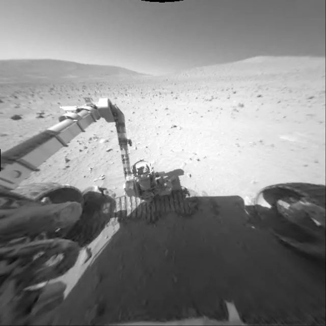
Mars Rover Finds Mysterious Disc Shapes in Bedrock
A Sudden Change in Rock Texture
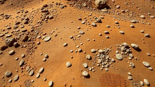
The bedrock blocks were still there, and their dimensions still matched earlier workspaces, but their texture had changed. That is what happened at the start of a recent week on Mars, when Curiosity’s cameras turned toward bedrock that had been finely layered in recent sulfate unit workspaces and found something entirely different: blocks covered, and likely filled, with a jumble of small disc-shaped lumps.
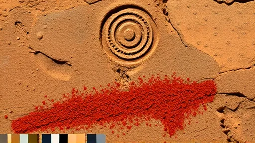
The change was unexpected. Recent workspaces in the sulfate unit had offered finely layered bedrock blocks, regular to the point of monotony. Then the texture changed. The discs measure roughly 3 to 4 millimeters across, about 0.12 to 0.16 inches, and roughly 1 millimeter thick, about 0.04 inches. [2] A brushed spot on the bedrock, informally named “Salar de Vacas,” revealed both the disc features and a divot carved by the rover’s Dust Removal Tool (DRT). The image itself came from the Mars Hand Lens Imager (MAHLI), a close-up camera mounted on the turret at the end of the rover’s robotic arm. An onboard focusing process merged multiple images of the same target at different focus positions into a single composite, bringing as many features into focus as possible. Curiosity performed the focus merge on Sept. 16, 2026 — Sol 5016, or Martian day 5,016 of the Mars Science Laboratory Mission — at 02:14:02 UTC. [2] Such disc-like shapes have been seen before. They appeared much earlier in the mission, close to the Pahrump Hills within the Murray mudstones. They also occur in Earth rocks, particularly in settings where minerals were precipitating from an evaporating fluid. Two explanations compete: the discs could be created by the growth habits of a specific crystalline mineral known to grow into similar shapes, or they could be bits of a harder rock layer that broke up and collected here. Distinguishing between these possibilities requires more than a photograph.
Shape Is Not Composition
A camera can reveal shape but not composition. That gap is where the rover’s full instrument suite enters. The plan for the jumbled disc blocks included Mastcam and MAHLI imaging for more morphological detail at targets named “Yungay” and “Chiu Chiu.” Composition would be probed by ChemCam laser analysis, or LIBS, at targets called “Puya Raimondii,” “Liolaemus Tacnae,” and “Pisqu Warkatana.” The Alpha Particle X-ray Spectrometer, or APXS, would examine “Salar de Vacas.” The work extended beyond these individual blocks. Long-distance imaging projects continued in parallel, with the ChemCam remote imager and Mastcam mosaics capturing the buttes on either side of Valle Grande. These cutaway views of strata above the rover serve a mapping purpose: sedimentary structures in upcoming units can be traced, and the formation and erosion of those rocks can be reconstructed. Views of more recent erosional deposits contribute to understanding how Valle Grande itself took shape.
The distinction matters because it changes what the rocks can say about ancient water.
Why a Drill Is Needed
Identifying minerals definitively requires data from the CheMin X-ray diffraction instrument, and that instrument needs a sample. It cannot analyze a rock from a distance. This constraint means a drill campaign. [2] The upcoming drill will be the first above the erosional supersurface, a boundary that separates older terrain from younger deposits.
The path to that drill involved careful staging. A Wednesday drive brought the rover next to a promising workspace a little beyond the disc-shaped features, which had been imaged by Mastcam as “Torres del Paine.” Friday’s planning included site characterization with arm instruments at “Alberta Wild Rose” and “Moonraker Mountain,” ChemCam laser analysis at “Osoyoos,” and Mastcam imaging at “Trincomali Channel” and “Yellow Lady’s Slipper.” The team then selected a specific drill target and planned a very short drive to bring it within range of the arm — first for contact science, then, if conditions allowed, for a preload test and the drill itself.
Each question — morphology, composition, crystallography — is answered by a different tool. The contribution to fundamental research lies precisely here: not in a promise of resources or a path to application, but in the slow accumulation of evidence about how minerals form, how water behaves, and how a planet’s surface records its own history. The drill, when it turns, will not be extracting a resource. It will be reading a page.