Ancient Forest Loss Warns of Modern Climate Risk
A Warning Buried in Ancient Mud
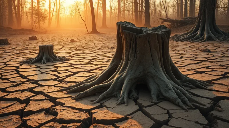
Around 56 million years ago, the amount of carbon dioxide in Earth’s atmosphere climbed sharply. [3] The result was severe global warming that reshaped the planet’s surface. Forests thinned out across vast regions. This period carries a name that geologists use with precision: the Paleocene-Eocene Thermal Maximum, or PETM. The decline in forest cover during that episode was not local. It was widespread. Satellite data gathered since roughly the turn of the century shows a browning trend across the planet — a modern echo that researchers are watching closely. The parallel is not perfect, and scientists say so plainly. But the past, they argue, offers guides. “What we’re looking for is guides from the past about what can happen,” says palaeoclimatologist Gabriel Bowen. [2] His framing matters: he is not claiming that ancient warming repeats itself exactly. He is asking what the rock and fossil record can teach about how landscapes respond when carbon dioxide rises fast.
The PETM was not caused by humans. That distinction is central. What makes it useful is the speed and scale of the carbon release, which resembled what human activity now produces. When the atmosphere loaded up with carbon, temperatures climbed. Forests retreated. The surface of the planet changed. This sequence — carbon up, heat up, forests down — is what researchers want to understand in finer detail. A 2025 study led by researchers at the University of Utah examined this chain of events and gave the browning of the ancient world a measurable footprint. [3] The finding does not predict the future. It narrows the range of what is plausible. And it does so with evidence pulled from deep time, not from a computer simulation alone.
Two Teams, One Signal, Different Tools
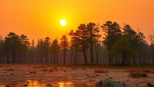
The ancient-forest decline is not the only line of evidence pointing the same direction. A separate body of work, published by an independent research group, has tracked vegetation health across the modern planet using satellite instruments. Those instruments measure how green — or how brown — the land surface appears from orbit, a metric known as the normalized difference vegetation index. Since about 2000, the trend has tilted toward browning in many regions. [1] The two research efforts, run by separate teams at separate institutions, do not share a single dataset or a single method. One reads chemistry locked in ancient sediments. The other reads light reflected from leaves today. Yet both converge on a similar observation: when heat and carbon stress mount, forests lose ground. That convergence is what gives the finding weight. Independent tools, independent teams, same directional signal.
The modern satellite record is short by geological standards, spanning only a couple of decades. The ancient record reaches back tens of millions of years but resolves only broad strokes of time. Neither alone would settle the question of how forests respond to rapid warming. Read side by side, the two records cover each other’s gaps. The ancient sediments show what happened across tens of thousands of years. The satellite instruments show what is happening now, year by year. Researchers who study the PETM are careful not to overstate the link. They note that the ancient event unfolded without human cities, farms, or economies, a difference that limits any direct comparison. The modern context differs in kind, not just in degree. Still, the directional agreement between the two lines of evidence is difficult to dismiss. It suggests that the relationship between carbon, heat, and forest cover holds across more than one era.
The team, led by palaeoclimatologist Gabriel Bowen at the University of Utah, specializes in reading the geochemical signatures of past climates. Their work adds hard numbers to what had been a qualitative picture. They can now say not just that forests declined, but roughly how much and over what span of time. That precision is what makes the comparison with modern satellite trends meaningful. Without numbers, the parallel would be a metaphor. With numbers, it becomes a testable hypothesis about how landscapes behave under carbon stress.
What the Record Cannot Tell Us
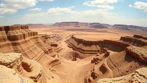
The limits of this work matter as much as its findings. The PETM is not a perfect analogue for the present. The ancient warming played out over a world without the infrastructure, agriculture, or population centers that define the modern planet. Forests then could migrate across continents without encountering highways, cities, or fragmented habitats. Today, a tree species that needs to move poleward or uphill may find its path blocked. That difference alone means the ancient record cannot be read as a direct forecast. It is a guide, not a script. Gabriel Bowen’s phrasing captures this restraint: the past offers guides about what can happen, not guarantees about what will. [2]
Another limitation is resolution. The ancient record averages over long stretches of time. It cannot show how a single decade of warming affected a single forest. The satellite record, meanwhile, covers only a few decades and cannot yet distinguish a temporary browning from a permanent shift. The two records must be read together, with each compensating for the other’s blind spots. Neither is sufficient on its own. The scientists involved in the ancient-climate work do not claim to know exactly how modern forests will respond. They claim something narrower and more defensible: that rapid carbon release has, in at least one deep-time case, led to widespread forest decline. [3] Whether the modern world follows the same path depends on factors the ancient record cannot see. That uncertainty is not a weakness of the research. It is the honest boundary of what the evidence supports.
Sources
1. DOI: 10.1038/d41586-026-02581-7